
Projects
RAIL
Union Pacific Railroad
Bank Stablization - Texas
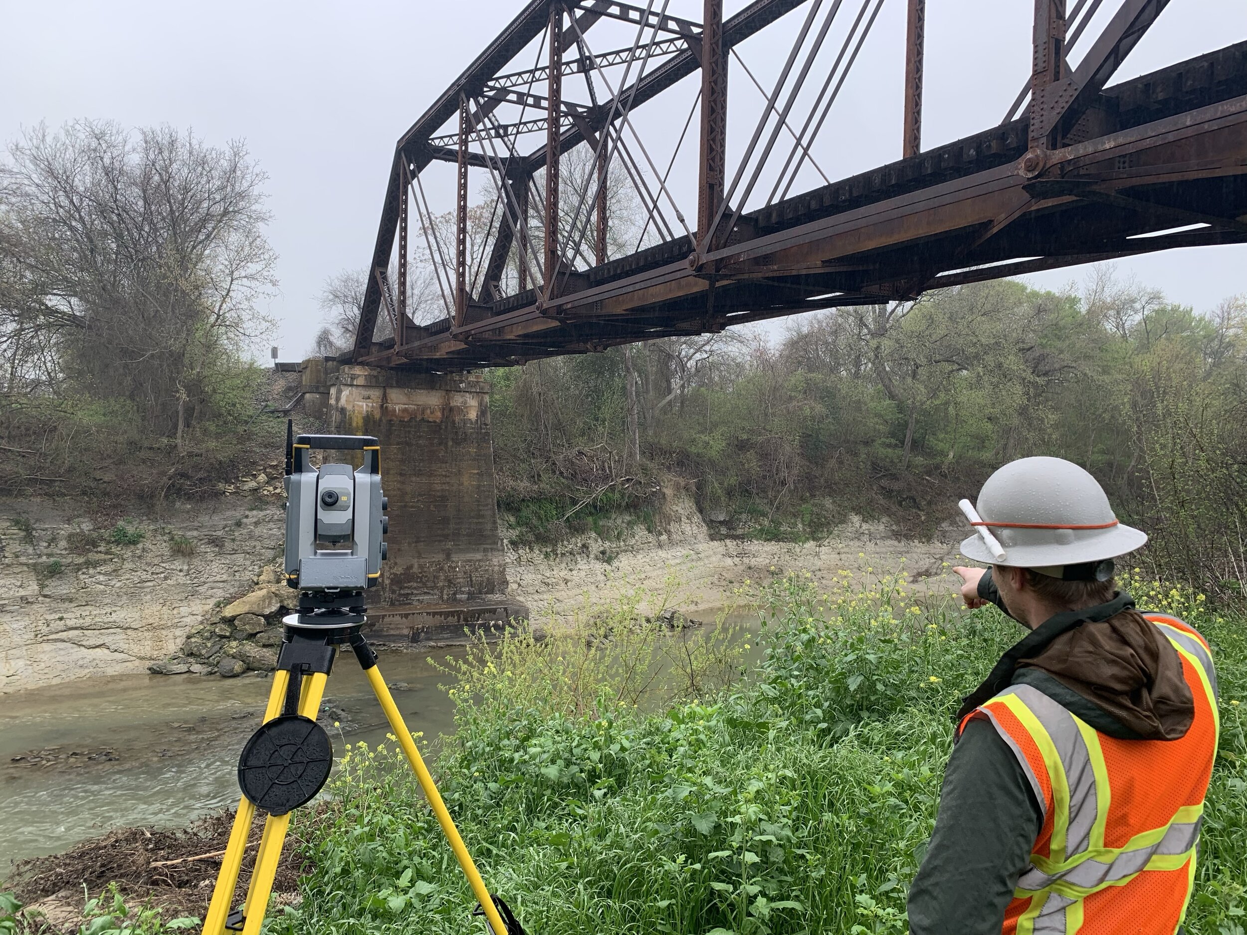
The job began as a bridge replacement. Field review showed an upstream meander working toward the crossing and a tall vertical bank against the railroad embankment. Union Pacific and Coldwater shifted the work to bank stabilization so the river would not take the fill or the bridge.
Requirements
Protect the crossing and embankment on an accelerated schedule, before the meander moved farther. The design had to be constructible, limit new permitting and right-of-way, and account for an incised channel with high in-channel shear from upstream regulation and a thin sediment supply.
Strategy / approach
Coldwater surveyed the channel and bed, built a 2-D hydraulic model, and tested conventional and vegetated bank treatments. Hydrology included flood-frequency analysis, degradation, and scour so high-flow and low-flow conditions both informed the layout. A wetland delineation and permit applications ran with the design. The selected plan lays the bank back, armors the toe, and restores a vegetated face.
Canadian Pacific Kansas City
Flood Study - Shoal Creek, Missouri
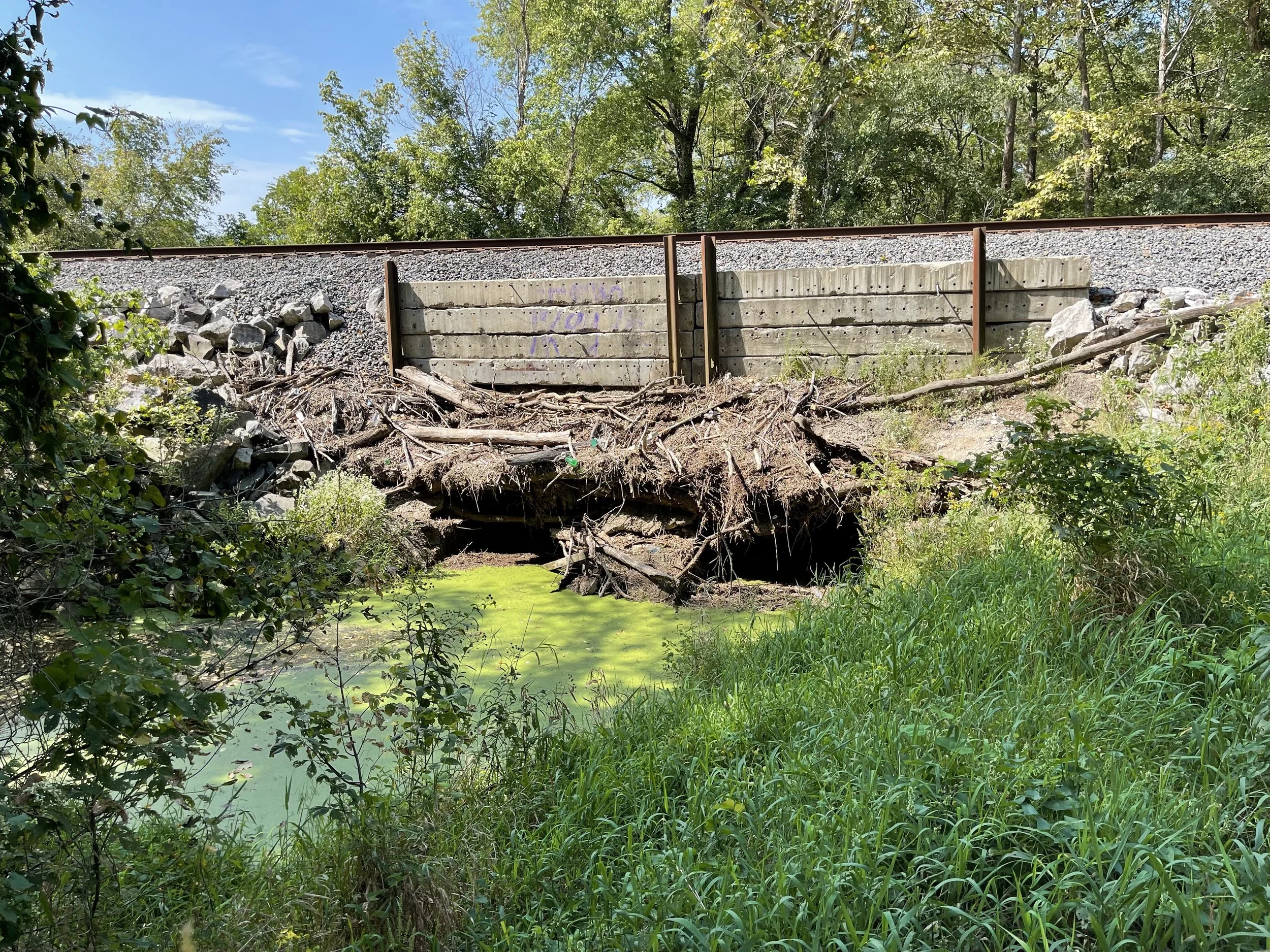
CPKC asked Coldwater to look at a multi-mile stretch of track that had flooded repeatedly on the Shoal Creek floodplain. The work combined field survey, hydrology, and a 2-D model so the railroad could see how the creek actually used the floodplain and which openings were in the wrong place or the wrong size. Because washouts were already being repaired, Coldwater mobilized at once and designed while construction was on site.
Requirements
Explain the flooding along the corridor, flag structures that needed to be added or replaced, and do it on an emergency schedule. Some openings had been sized for local drainage only and ignored overbank flow from Shoal Creek. A nearby gage and a high-water mark from a local campground had to be folded into the analysis so the model matched floods the line had already seen — events on the order of the 1% annual chance in the last decade.
Strategy / approach
Staff walked the site, surveyed the problem reaches, and talked with adjacent landowners. Bulletin 17C at the gage set design discharges. A 2-D model was built from public LiDAR plus that survey, then used to find undersized and poorly placed structures — including a former bridge that had been replaced with culverts too small for Shoal Creek’s overbank flow. RAS Mapper figures showed CPKC where water left the channel and why a new bridge, rather than another local-drainage fix, was the right call at that location. Weekly coordination kept design even with the crews already on the ground.
BNSF Railway
Standard Bridge Replacement H&H - Cedar Creek near Libby, Montana
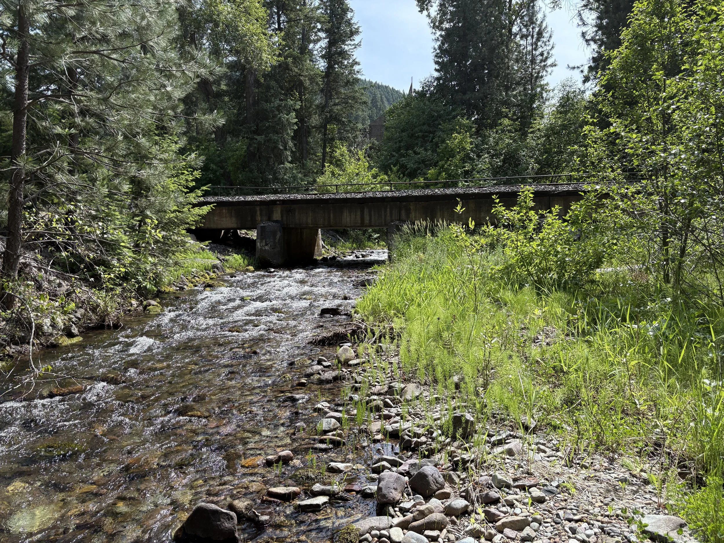
BNSF needed a replacement recommendation for a short ballast-deck concrete trestle on Cedar Creek, a steep forested tributary to the Kootenai River. The existing five-span bridge met BNSF’s 100-year standard hydraulic criteria but not the 50-year standard. Coldwater surveyed the site, set design flows, modeled existing and proposed openings, and handed structural several bridge layouts that clear BNSF criteria without a track raise.
Requirements
Size a replacement that meets BNSF 50- and 100-year standard criteria, and advanced criteria where a layout could do it. Check backwater from the Kootenai, an upstream highway bridge, and whether pipes were even worth considering. Keep the active channel in mind — it sits in the existing first span — so abutment placement had to move with the creek, not the old footprint. Scour protection had to match riprap already on the slopes. The site sits outside the mapped floodplain; stream and wetland permits still apply.
Strategy / approach
Design discharges came from Montana USGS regression equations and were checked against a nearby gage and the upstream U.S. 2 structure. HEC-RAS included Kootenai backwater; the creek is steep enough that it did not control. Field notes showed debris and a shifting bed, so pipe options were modeled, then dropped. Four prestressed-concrete bridge alternatives were compared for opening area, water-surface and energy grade, and constructible abutment locations. Three meet standard and advanced criteria; one meets standard only. BNSF selected a four-span layout for final design. Typical of the opening studies Coldwater runs for BNSF each year.
Kansas & Oklahoma Railroad (Watco)
Replacement H&H Program - Kansas
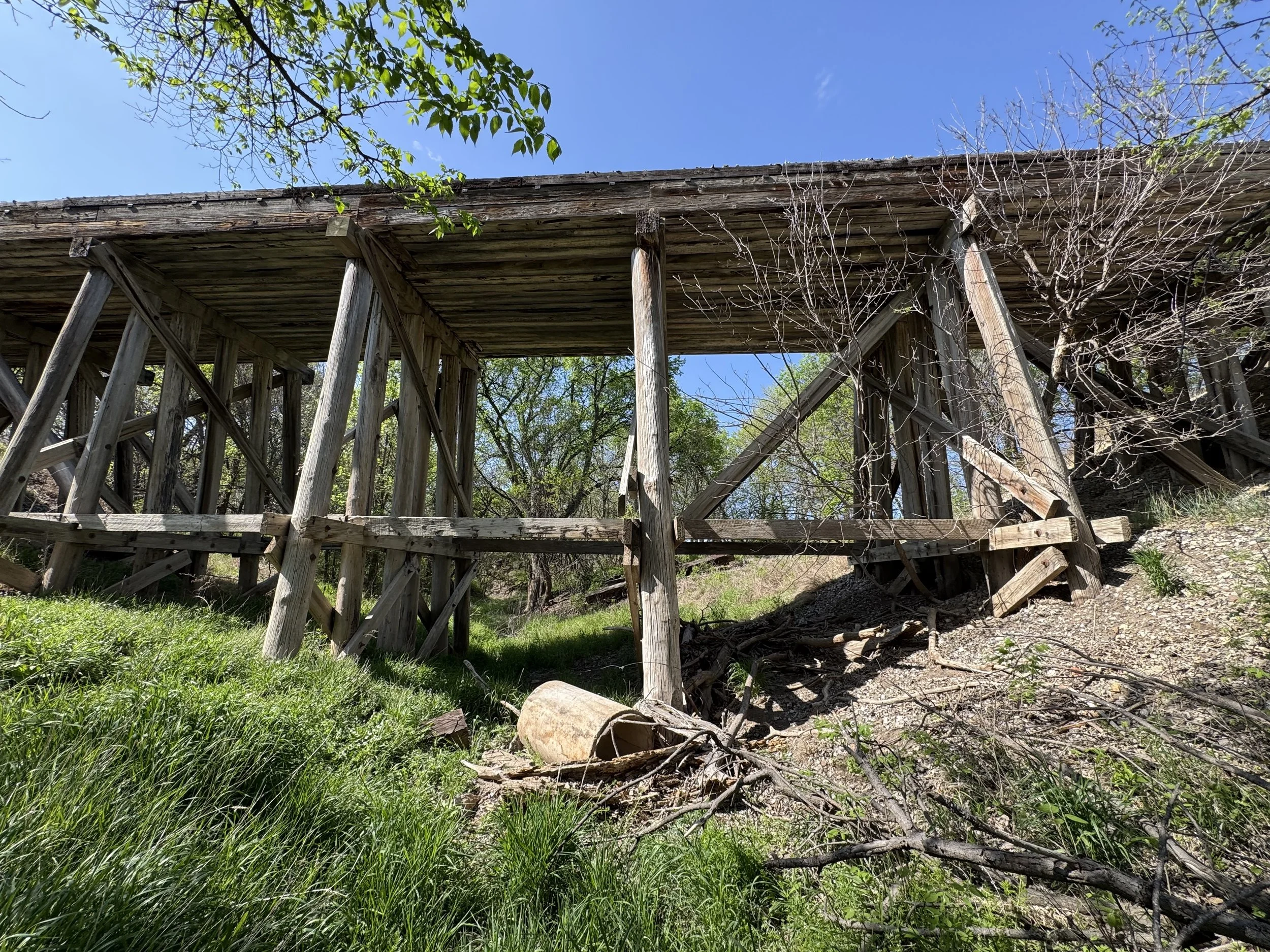
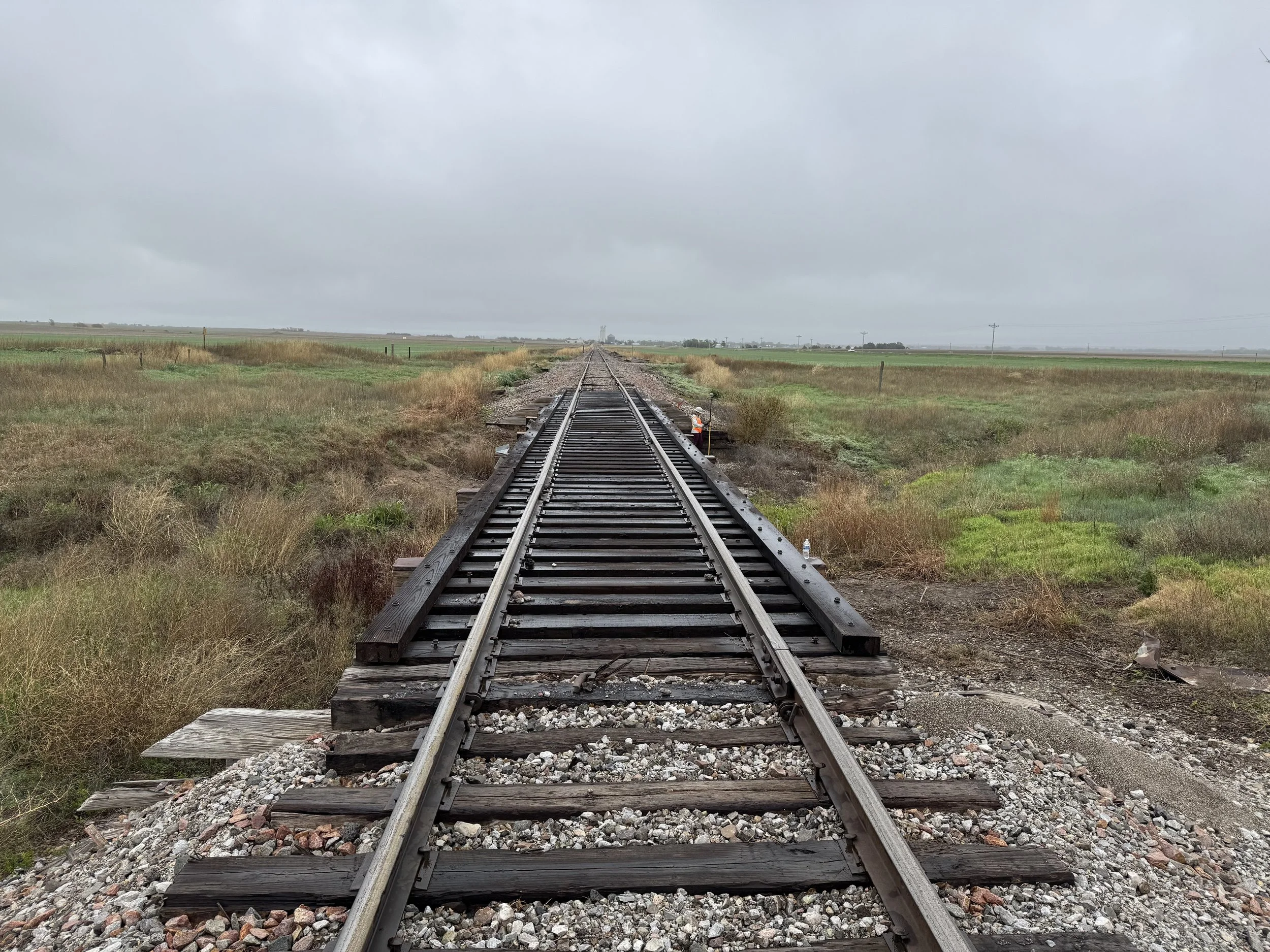
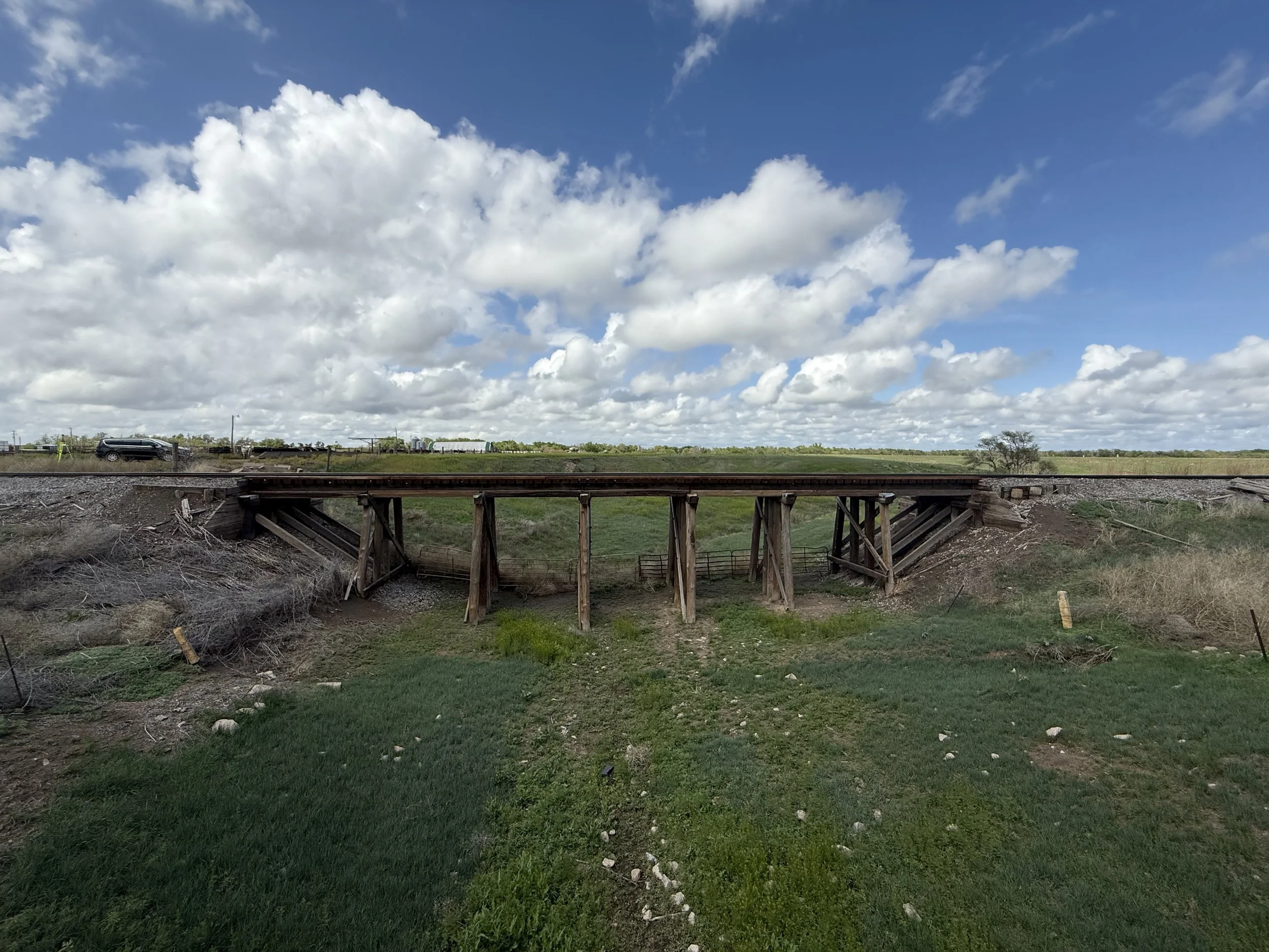
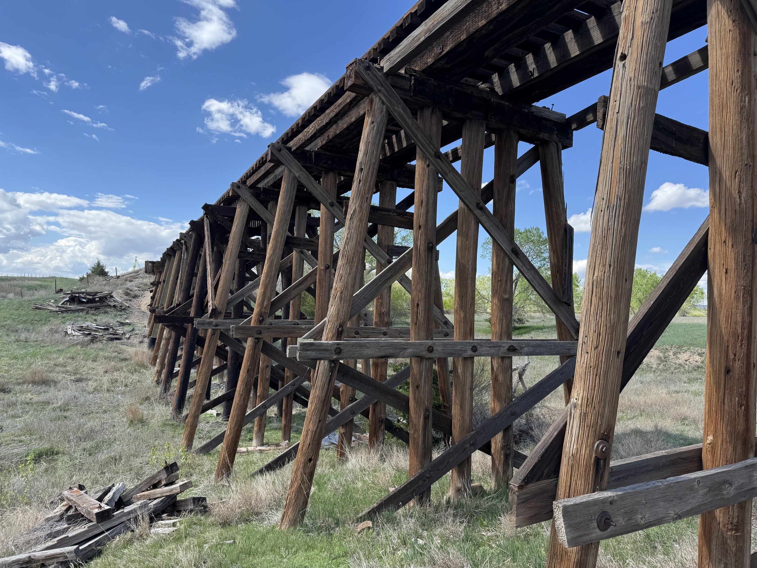
Watco needed replacement recommendations for about 50 openings on the K&O Scott City line in Kansas — timber bridges slated for replacement, some of them in mapped floodplain. Coldwater split the list into full H&H-and-survey sites and lighter desktop sites, surveyed more than 30 structures in one trip, and delivered opening and scour recommendations on schedule.
Requirements
Each site needed a structure that meets Watco’s hydraulic criteria and can be built and permitted. Mapped 100-year floodplain sites (Zones A and AE) had to hold the water-surface increase under one foot. Not every crossing justified a full model: drainage area, floodplain status, and a look at the structure decided whether it was a surveyed H&H job or a desktop recommendation. Limited scour (contraction, pier, and abutment) was required at the surveyed sites.
Strategy / approach
Office screening set the full-versus-desktop split before anyone left Helena. One mobilization covered the field work: full survey, utility locate, and drawings at the larger or floodplain sites; tape, photos, and a recommendation memo at the rest. Hydrology used more than one method and compared results. Full sites got existing and proposed models, a few alternative openings, and scour depths to assist structural. Desktop sites got the same criteria with simpler hydraulics. Recommendations were back in time to support a CRISI application for the replacement program.
STREAMS
Private Entities
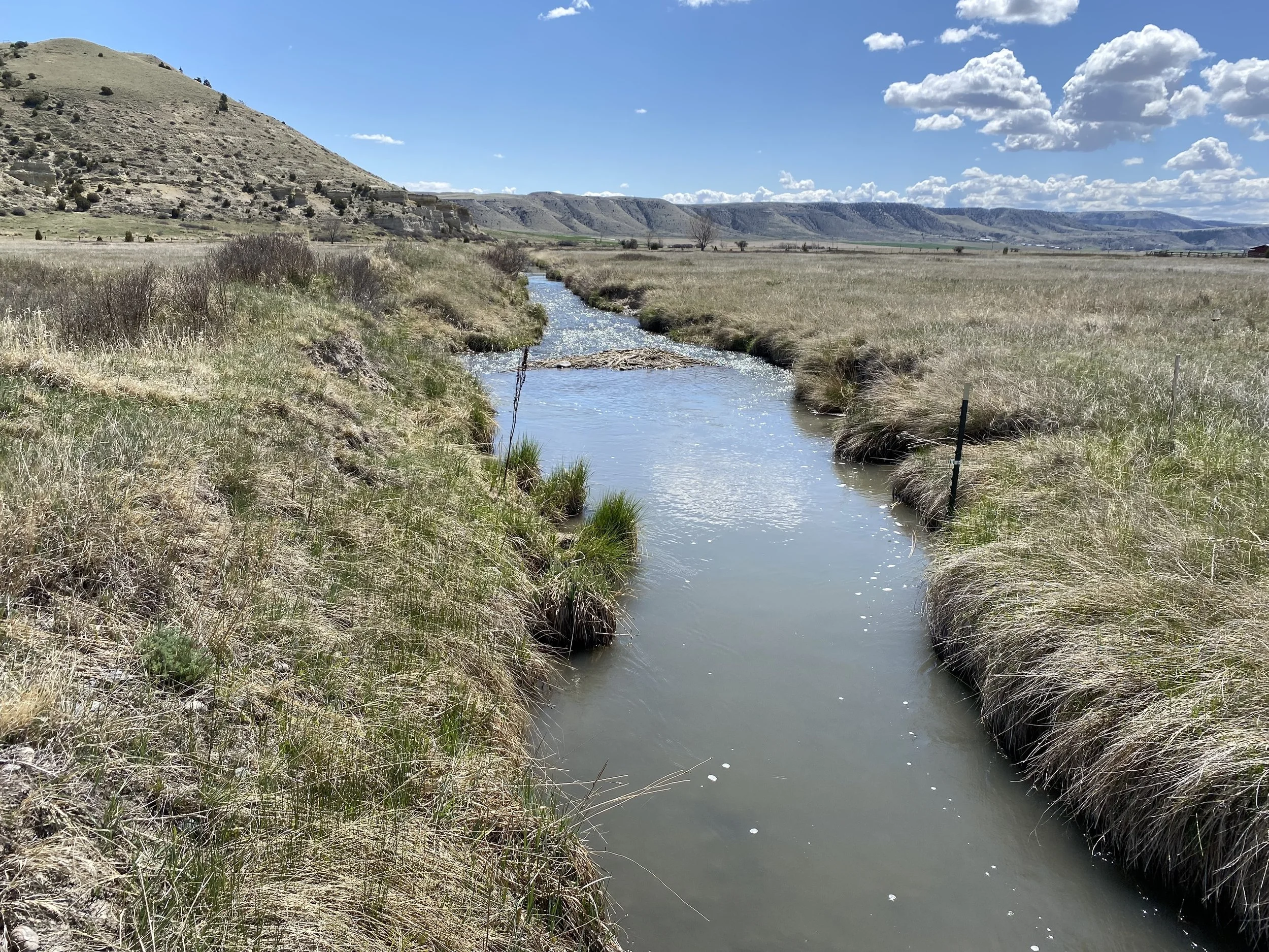
Land Development, Land Improvement, and Habitat Restoration Projects
Disciplines: Design, Flood Risk Analysis, Irrigation Design, Site Survey, Geomorphic Assessment, Hydrology & Hydraulics, Constructability Evaluation, Alternatives Analysis, Floodplain Permitting
Requirements: Coldwater Engineering has assisted with several land improvement projects. These projects have intended to address degraded habitat conditions by modifying aging irrigation systems in order to improve water quality conditions, in addition to restoring and improving aquatic conditions within stream channels and river floodplains. Additionally, when safe to do so, some projects feature a land development component within flood fringe areas.
Strategy/Approach: Coldwater Engineering typically assists restoration professionals and water right specialists with flood risk studies and design services. These services are critical for determining floodplain permitting compliance during the early stages of design in order to allow for the projects to accurately scoped during the construction stage. Effective communication and strong teaming arrangements allow our engineers to best serve these land improvement projects. This approach, in addition to our vast amount of hydrologic and hydraulic experience, has allowed us to successfully design and permit land improvement projects in areas undergoing floodplain remapping efforts, complicating floodplain compliance specific to “best available data”. Additionally, our vast amount of experience performing flood risk assessment and leading floodplain permitting efforts allows our team of engineers to effectively evaluate proposed development compliance relative to floodplain regulations.
Montana Fish Wildlife & Parks
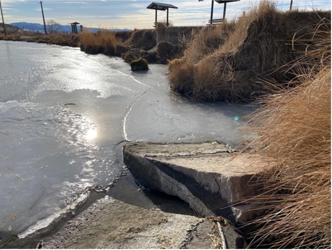
Erosion Control Projects
Disciplines: Design, Flood Risk Analysis, Site Survey, Geomorphic Assessment, Hydrology & Hydraulics, Constructability Evaluation, Alternatives Analysis, Floodplain Permitting, Plans and Special Provisions Preparation, Engineer’s Estimate
Requirements: Coldwater Engineering is working with FWP as a selected design consultant to address streambank and shoreline erosion at multiple locations across Montana. Complicated riverine hydraulics, regulatory compliance considerations, and multiple stakeholder interests pose a challenging set of design objectives for these projects.
Strategy/Approach: Where possible, our team approaches streambank stabilization projects from the perspective of working with the river’s natural processes, as opposed to working against them. We approach most projects from an analytical perspective, utilizing 1D and 2D hydraulic modeling to develop design confidence, allowing our engineers to make informed decisions. For many projects, we take a holistic approach to developing a preferred design, balancing project goals with resiliency and impacts. Coldwater Engineering routinely teams with environmental consulting firms specializing in restoration projects, allowing our team to work with professionals that best understand aquatic and riparian habitat conditions.
Private Entities
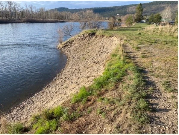
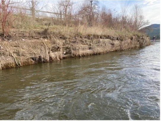
Montana River Restoration and Streambank Stabilization Projects
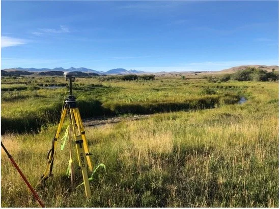
Disciplines: Design, CADD Support, Flood Risk Analysis, Bathymetric Survey, Hydrology & Hydraulics, Construction Staking and Oversight, Alternatives Analysis, Floodplain Permitting
Requirements: Coldwater Engineering has provided design support for several medium to large scale stream restoration projects. The primary goals of these projects are to promote and increase riparian vegetation, provide increased channel diversity and cool water resting pools, and encourage floodplain activation and groundwater recharge.
Strategy/Approach: Through effective communication and strong project management, we have been able to provide detailed engineering support and hydraulic analyses for numerous stream restoration projects. Services have ranged from bathymetric and topographic surveying data collection to detailed 2D hydraulic modeling to support the designs of numerous channel realignments, floodplain reactivations, and overflow pilot channel construction.
Our diversity in hydraulic design and risk assessments has provided great value to these projects, allowing project stakeholders to gain confidence in proposed actions and simplifying compliance with regulating agencies. Our ability to team well with other specialized environmental consultants avoids over-scoping the project, allowing stakeholders to maximize their budget and spending power.
ROADS & HIGHWAYS
Montana Department of Transportation
Whitetail Creek Culvert Replacement
Disciplines: Transportation Engineering, Hydrology & Hydraulics, Constructability Evaluation, Alternatives Analysis, Aquatic Organism Passage, Floodplain Permitting, LOMC Modeling
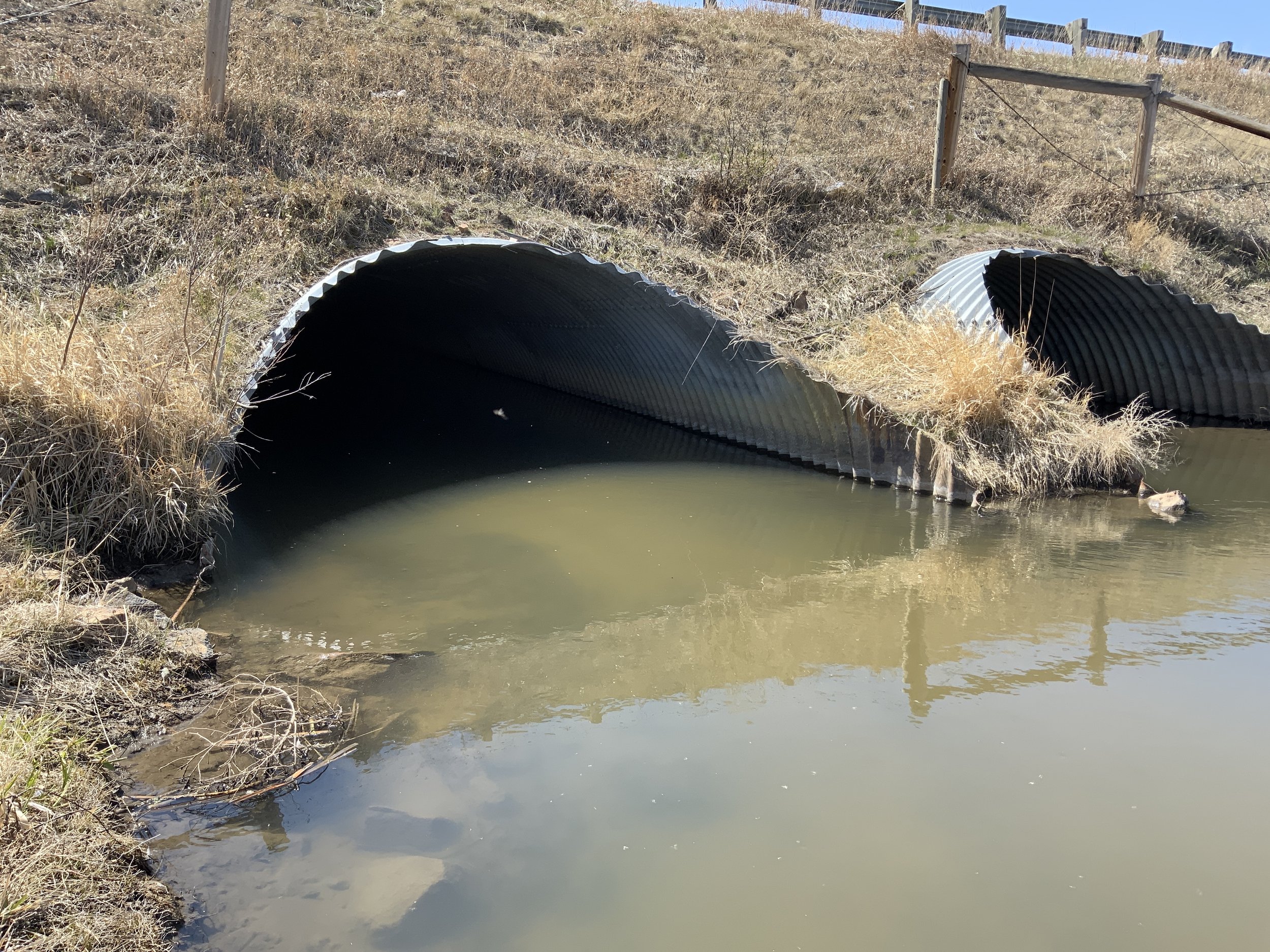
Requirements: Replacement of the Whitetail Creek culvert is part of a larger roadway rehabilitation project, located along I-90 in Jefferson County, MT. The existing double 12’10” x 8’4” Structural Plate Pipe Arch (SPPA) culverts were identified for replacement due to age and condition. The project required a detailed floodplain permitting assessment due to the ongoing remapping of Jefferson County’s floodplains. Additionally, the project required Aquatic Organism Passage to be incorporated into the design.
Strategy/Approach: Coldwater Engineering performed early coordination with the Montana Department of Natural Resources and Conservation (MT DNRC) in order to analyze potential Letter of Map Change requirements. The MT-2 modeling process Letter of Map Revision process was utilized to analyze site hydraulics, requiring the creation of duplicate effective, corrected effective, existing conditions, and revised conditions hydraulic models. All aspects of the analysis were detailed in comprehensive hydraulic reports. Coldwater Engineering provided engineering services from the preliminary assessment to final design for this ongoing project.
Aquatic Organism Passage (AOP) was incorporated into the project through design iteration. Ultimately, Coldwater Engineering was able to provide a permanent replacement structure that met hydraulic design criteria in addition to satisfying low-flow AOP requirements by embedding and infilling the replacement culvert in order to best replicate native conditions and satisfy AOP requirements. Additionally, sediment transport and long-term channel stability considerations were included in the design by providing for transitional grading between the native stream channel and the proposed replacement structure. Ultimately, a large 20’ x 11’ Reinforced Concrete Box culvert was provided for that limited channel obstructions, providing for improved hydraulic and environmental conditions when compared to existing conditions.
Montana Department of Transportation
Pine Creek Road
Disciplines: Transportation Engineering, Hydrology & Hydraulics, Irrigation Design, Roadside Drainage Design, Alternatives Analysis, Aquatic Organism Passage, Culvert Service Life Analysis, Plan Reviews
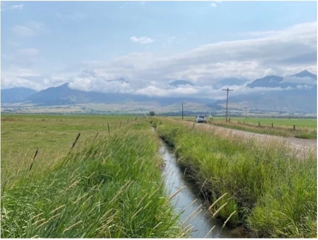
Requirements: The Pine Creek Road project intended to reconstruct approximately 2.4 miles of road within Park County, MT. Irrigation practices have heavily modified the Paradise Valley, complicating site hydrology. Additionally, a number of irrigation and drainage cross-drains existing along the project alignment requiring numerous culvert design. The project also required Aquatic Organism Passage was required to be designed into several stream crossings. Finally, a historic irrigation ditch was located immediately adjacent to the alignment, requiring an alternatives analysis to be performed, evaluating the potential to relocate this feature outside of the Right-of-Way.
Strategy/Approach: Coldwater Engineering completed a detailed hydrologic and irrigation location hydraulic study in order to determine existing runoff and irrigation flow rates. Additionally, design considerations were coordinated with MDT’s District Biologist in order to best evaluate specific AOP requirements. Ultimately, Coldwater Engineering provided hydraulic design for 16 drainage culverts, a series of 2 overflow ditch culverts, and provided preliminary engineering for 4 irrigation crossings and relocation of a ~2,000’ long historic irrigation ditch.
Montana Department of Transportation
Durston Curves
Disciplines: Transportation Engineering, 2D Hydraulics, Constructability Evaluation, Alternatives Analysis, Stormwater System Analysis
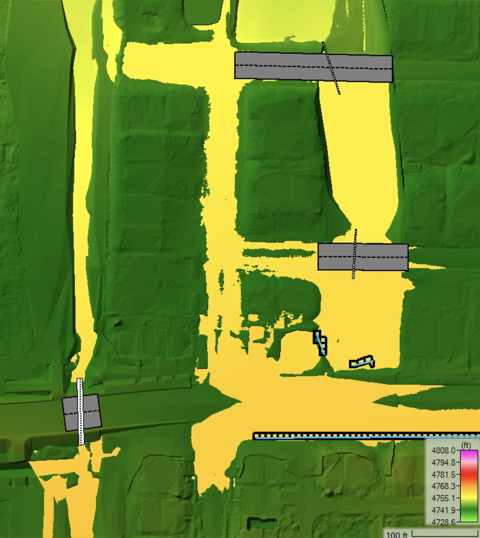
Requirements: Located near Bozeman, MT, this project required a detailed 2D flood risk analysis to be performed to support this public safety project. The proposed project intended to realign a roadway to improve safety, with creek crossing being impacted as part of the project. Adjacent development projects had resulted in elevated flood risk conditions for the stream crossing, necessitating a high-resolution flood risk assessment for existing and proposed project conditions.
Strategy/Approach: Coldwater Engineering provided a detailed 2D flood risk analysis, evaluating the existing and preliminary proposed culverts, in addition to evaluating future runoff conditions. Coldwater Engineering coordinated closely with MDT and the road designer in order to develop a preferred replacement structure that mitigated flood risk, while also being considerate of roadway clear zone and structural requirements. Runoff conditions were complicated by the numerous adjacent development projects. Coldwater Engineering conducted a detailed review of numerous stormwater management plans in order best determine current runoff conditions. Additionally, future hydrologic conditions were analyzed, assuming continued build-out of the surrounding area. Ultimately, nearly 16 hydraulic modeling conditions were analyzed utilizing 2D hydraulic modeling calculations, resulting in a highly detailed understanding of current, proposed, and future flood risk.